Satellite data helps businesses, governments, researchers, and journalists understand the physical world and take action. It is one of the most powerful intelligence tool for decision-makers.
We simplify access to critical information.
-

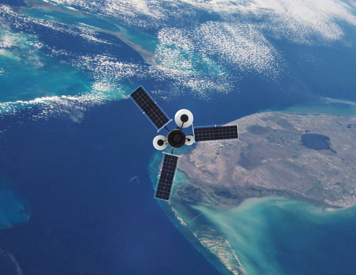
Satellite Imagery
Detect change and build context at scale
-

Map Data
Premium content at your fingertips
-

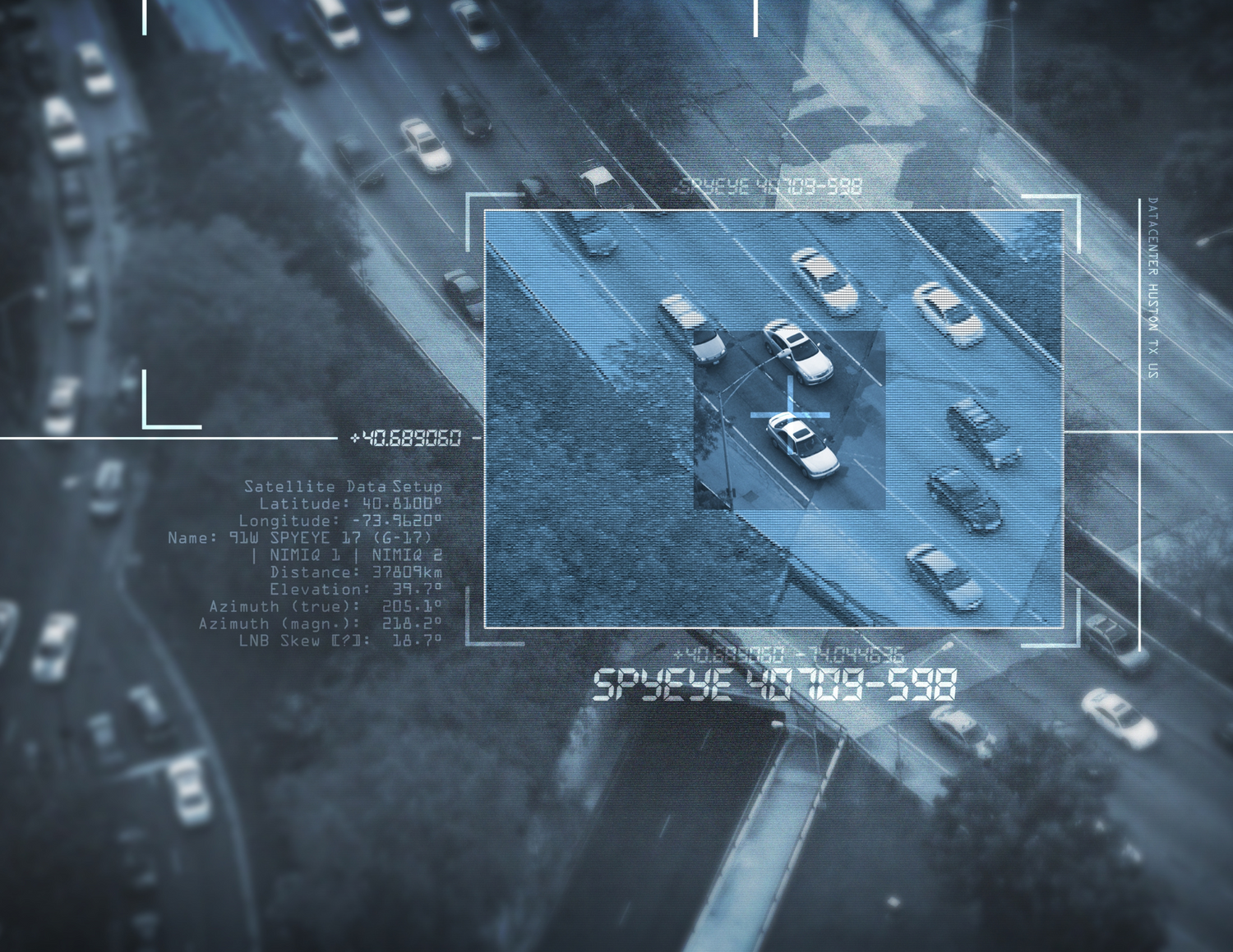
Analytics
Insights from machine learning and our team of geospatial expert analysts


We work on-demand
Satellite imagery, technology, data and expertise to solve the most complex challenges.
Simplified access to space
Get the right imagery intelligence at the right moment, with a strong ally to help you take the right decisions.